In 2023 the Solent Seascape Project together with Chichester Harbour Conservancy trialled a pioneering technique with dredged sediment to restore saltmarsh at West Itchenor. Monitoring of the trial site to assess the success of the technique is ongoing, and it is hoped that future phases of the trial will take place.
Why restore saltmarsh?
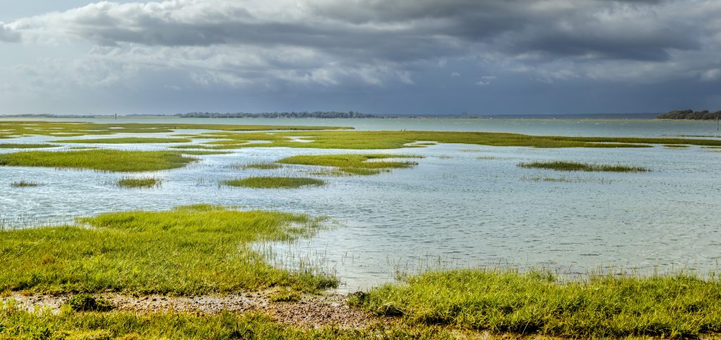
Restoring saltmarsh is one of the key aims of the Chichester Harbour Protection and Recovery of Nature partnership. A 2021 Natural England review into the condition of the Chichester Harbour Site of Special Scientific Interest (SSSI) found that saltmarsh had declined by 57 per cent since 1946, and continues to decline at a rate of 2.5 hectares per year.
Saltmarsh is a powerhouse when it comes to habitats, a coastal ecosystem that:
- Supports biodiversity.
- Stores carbon to counter climate change.
- Acts as a natural flood and coastal defence.
- Helps improve water quality.
The Beneficial Use of Dredged Sediment (BuDS) for saltmarsh restoration
Every year millions of tons of sediment are dredged from UK harbours and released out at sea. Chichester Harbour is the largest recreational boating harbour in Europe, and regular maintenance dredges allow for safe navigation and entrance to marinas. On average, 13,000 m3 of dredged sediment is released at sea under licence annually. The Beneficial use of Dredged Sediment (BuDS) approach aims to keep sediment within the harbour, depositing it on an intertidal area to raise the elevation of the site. With sufficient elevation, halophytic plants will colonise the area and saltmarsh will develop.
A new innovation
BuDS has previously been used for saltmarsh restoration on the Essex coastline and within the Solent. However, distributing and retaining the sediment high enough on the foreshore to support saltmarsh development has proved to be a challenge. Mixing the sediment with 90 per cent water and pumping it into position has resulted in a liquid sediment, which has required the building of retaining structures to avoid it being washed away on the tide.
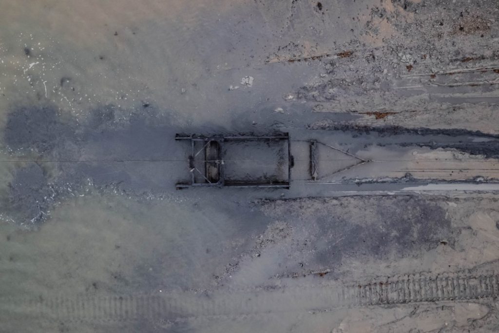
The trial at West Itchenor addresses this problem in a new and innovative way. Land & Water, alongside sister company Earth Change, designed an engineering solution to the problem: the Saltmarsh Restoration Drag Box (SDRB). Similarly to a sleigh, the SDRB sits on skis. This minimises habitat impaction, and can be fitted with skis of different widths best suited to local conditions. It is first loaded with dredged sediment at the lower reaches of the intertidal zone, then it is dragged up the foreshore where sediment is deposited and distributed. With no need to mix the dredged sediment with water, it is less likely to wash away with the tide.
The site
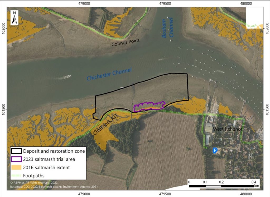
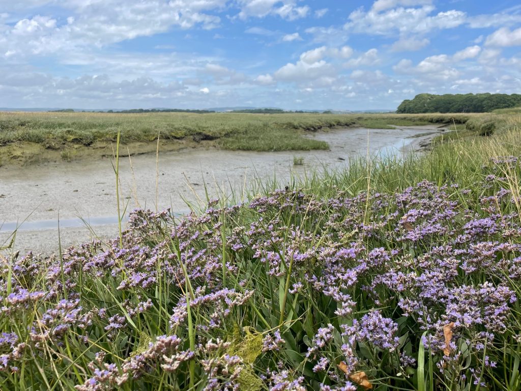
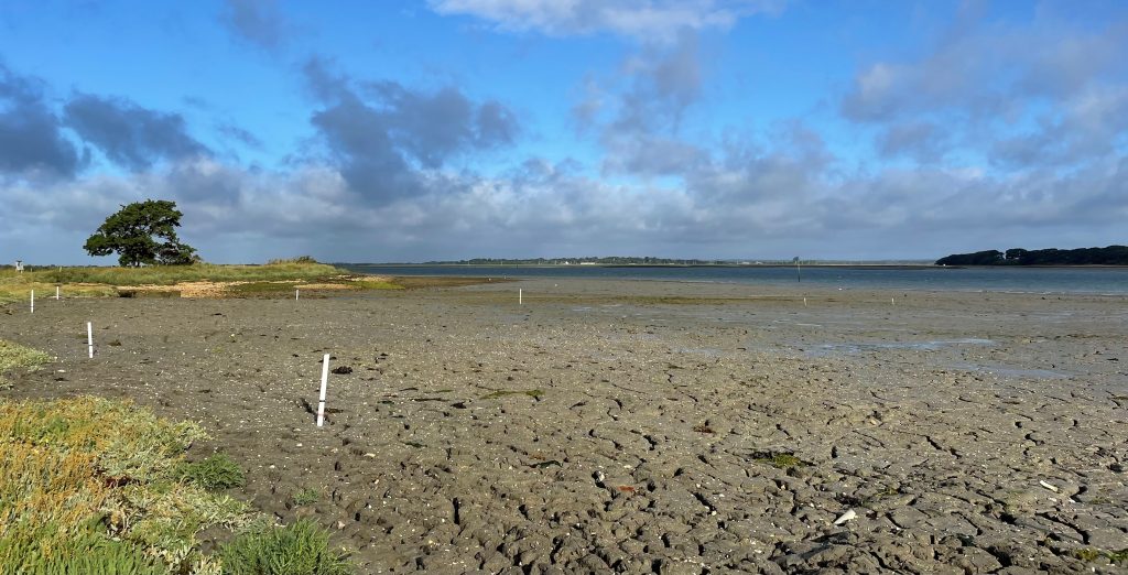
The site selected for the trial was an area of shoreline mudflat that had historically been a saltmarsh, evidenced by old photographs. It is close to two thriving areas of saltmarsh, Chalkdock Marsh and a site west of Northshore boatyard. Both of these will provide a natural supply of seed to help colonise the new area of raised sediment. By restoring saltmarsh at this location, it will also help to protect the coastal footpath behind from erosional processes.
The Trial
The three main aims of the trial were:
- To restore an area of saltmarsh;
- To test a new approach using dredged sediment to restore saltmarsh;
- To understand how well nutrients are absorbed by the new saltmarsh.
Preparation for the trial
Significant environmental monitoring was conducted: Marine Management Organisation licences and Natural England SSSI consent were obtained, and detailed mapping and calculations were carried out to establish the optimal sediment distribution and elevation for the site. The sediment is analysed for contaminant levels prior to dredging taking place. The deposition of the sediment needed to be carefully timed, not only to coincide with the dredge, but also to ensure minimal disturbance to the internationally important overwintering bird populations.
Depositing the sediment
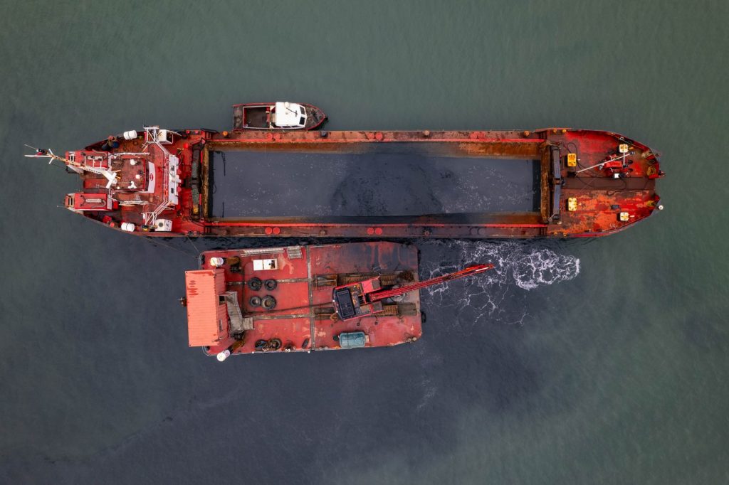
After the preparation, work took place on the site in February 2023. Sediment was taken from the maintenance dredge to Chichester Marina entrance and was transported and deposited by split hopper barges with bottom opening doors with a capacity of 200 m3. The barges arrived at the trial site at high tide and deposited the dredged sediment as high up the shore as possible.
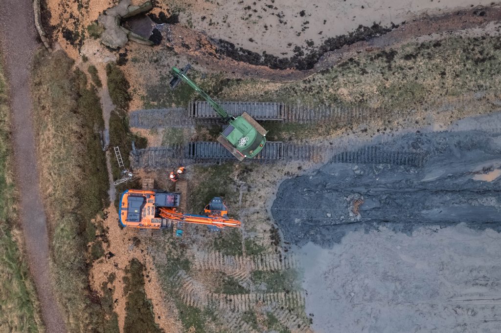
At low tide, the Saltmarsh Restoration Drag Box was used to transport the sediment up the shore to the upper intertidal area, where it was spread in accordance with a digital terrain map by an amphibious excavator. In total 1532 m3 was delivered to the site, of which 1,300m3 was moved to the upper shore area.

Watch the film:
This short film, produced by the Solent Seascape Project gives an insight into the trial.
Monitoring the success of the trial
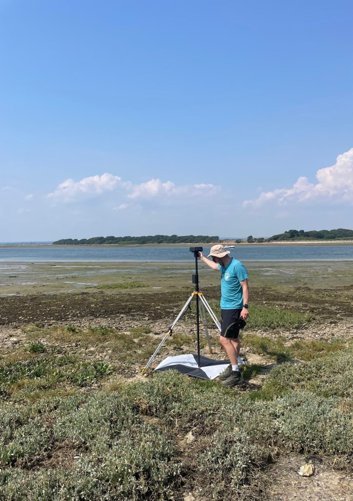
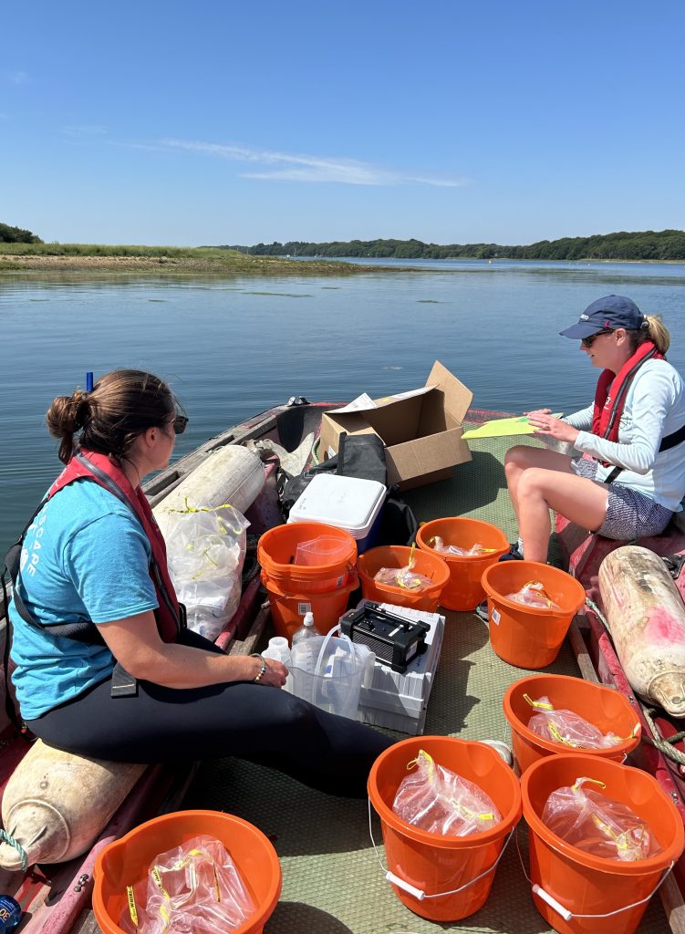
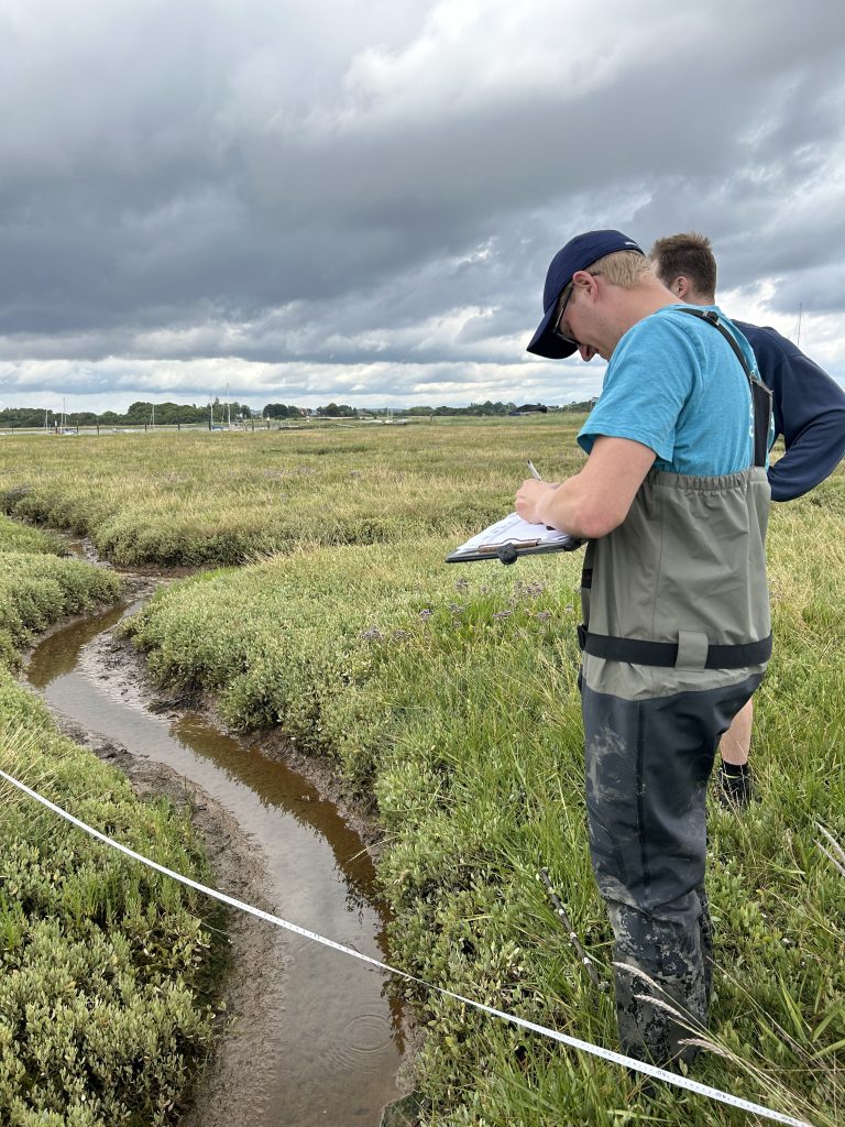
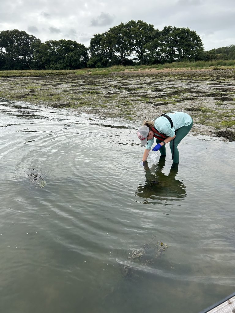
In line with all Solent Seascape Project restoration projects, there is a significant programme of monitoring to establish the success of the trial, as well as lessons that can be learned and taken into future projects. The monitoring includes:
- Topographical surveys to establish how he sediment has settled and whether it has been retained in position.
- Vegetation surveys, including analysis from multi-spectrum images taken by drone, as well as transects on the ground.
- Carbon cores to establish how carbon is stored on the site.
- Sediment analysis.
- Nutrient sampling.
- Water sampling, including clarity and quality.
- Fish surveys, along with environmental DNA analysis.
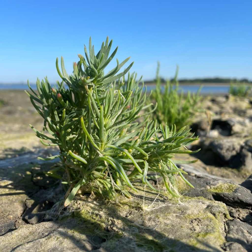
In the summer of 2023 the first shoots of saltmarsh plants established on the upper reaches of the site, with further plants establishing in 2024.
What next?
The ambition is to undertake further phases of the trial. Funding had been secured for a second phase in early 2025, however bathymetric surveys in the marina from which we were hoping to source sediment showed that no dredging was necessary. Therefore there wasn’t the availability of sediment to undertake the work.
We still hope to complete further phases, and work is underway to liaise with additional marinas within the harbour and make alterations to our licences to facilitate this.
The project was co-funded by East Head Impact, Earth Change and the Endangered Landscapes and Seascapes Programme as part of the Solent Seascape Project.
(The Endangered Landscapes and Seascapes Programme is managed by the Cambridge Conservation Initiative in partnership with Arcadia, a charitable fund of Lisbet Rausing and Peter Baldwin.)