The coastline in Chichester Harbour is ever changing. Over the past 2 million years sea levels have risen and fallen as the Earth’s climate has changed. Each time there’s an Ice Age, the Earth’s water freezes trapping ice and causing sea levels to fall. When the climate warms up, ice melts and ends up back in the sea, causing sea levels to rise.
The Chichester Harbour area has changed from open coastline, to dry grassy valleys with freshwater springs 40 km from the sea, to the channel and mudflat harbour.
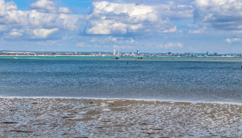
Power of the tide, washing away and depositing material
Even without sea level change, the power of the tide coming in twice each day is strong enough to create a changing coastline. The sea movces sand, mud, rocks and pebbles from one part of the harbour to another. Longshore drift happens along the coast, moving sand and stones from East to West in our area. Comparing old maritime charts with today’s charts, there are changes to the harbour shoreline, especially at East Head.
Erosion – Evidence from groynes
Land at the edge of the harbour is lost by the washing action of the water at each very high tide. This is called “erosion”. This is usually a very slow process, as the shoreline is protected from the full force of the sea. But over the years the shoreline has moved inland. This can be seen by comparing the position of the groynes near Copperas Point to the present shoreline 20 metres away.
People don’t want their land washing away, and have tried to protect it with sea defences.
Sea defences
There are many different types of sea defences. Sometimes the land is heavily protected from the sea; sometimes erosion is allowed to happen naturally.
In the past, areas of saltmarsh and sea have been reclaimed for farmland, such as at Thorney, Bosham, Nutbourne and Cobnor. Much of this land was claimed back by the sea, sometimes leaving posts and other defences behind.
The North part of Thorney has remained as land, linking it to the mainland.
You can walk on embankments that protect farmland from the sea across the harbour, including Chidham and Fishbourne.
Coastal Squeeze and Managed Realignment
Global warming and the gradual sinking of the South of England is leading to increased sea levels and loss of valuable habitats. In areas with fixed “hard” sea defences such as sea walls, saltmarsh plants cannot move inland to escape rising sea levels as they would if there were no hard sea defences. They are underwater for too long and die. This means that the area of saltmarsh reduces; known as “Coastal Squeeze”. As well as loss of an important habitat, loss of saltmarsh along the edge of the water increases the erosion of sea defences by waves and tidal current. Waves bounce off hard defences much more than saltmarsh and this increases erosion.
Managed Realignment is an alternative to “hard” sea defences. This involves building new sea walls further inland. It also allows sea to flow through gaps in the (old) sea wall, allowing new areas of saltmarsh. This helps “Coastal Squeeze”, but relies on landowners allowing some of their land to be reclaimed by the sea.
You can see examples of Managed Realignment at Thornham Point and West Chidham.
Talking Points
- In the future we may face rising sea levels and flooding.
- If you had to plan how to look after Chichester Harbour in the next 50 years, what would you do?
- Would you use sea defences or let natural processes happen?
- What about the cost of sea defences and the cost of allowing flooding?